Smart City Geofencing
By Joe Bantam
There has been a lot of talk about geofencing and advertisements glorifying its benefits. I thought I’d write this post to educate about geofencing from a programmer’s perspective (and someone that has developed and implemented it in games many times), along with its dangers in this new world order.
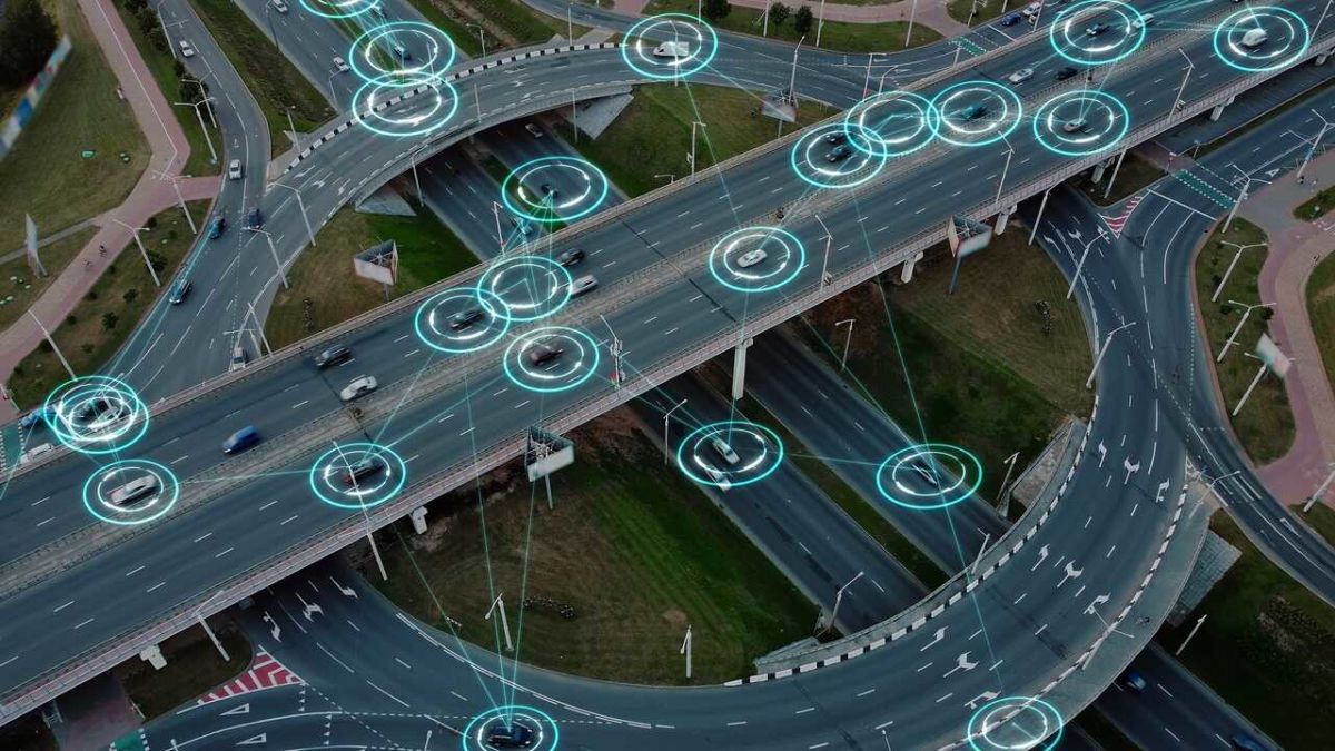
Geofencing is a technology that creates virtual boundaries or zones around a specific geographical area using GPS (Global Positioning System), RFID (Radio Frequency Identification), Wi-Fi, or cellular data. It allows software to trigger a response when a mobile device enters or exits these defined zones.
Here’s a straightforward breakdown of how geofencing works, in layman’s terms:
Don’t lose touch with uncensored news! Join our mailing list today.
- Defining the Area: First, a virtual boundary is set around a geographical location using mapping software. This boundary can be as small as a few feet across or as large as a city.
- Technology Integration: The geofence is powered by GPS or other technologies like RFID, Wi-Fi, or cellular data, which can detect the location of devices.
- Device Detection: When a mobile device that has the appropriate software installed (like an app) enters or leaves the geofenced area, the technology detects this movement based on the device’s location data.
- Triggering Actions: Upon entering or exiting the geofence, specific actions are triggered in the software. These can include sending notifications, alerts, or even adjusting settings on the device.
- Applications: Geofencing is used in various applications, from marketing (sending promotional messages) to security (alerting when someone enters a restricted area), smart home applications (turning on lights when you’re nearing home), and more.
Under an oppressive government, geofencing technology could be integrated with various control and surveillance mechanisms, such as social credit scores, personal carbon credits, central bank digital currencies (CBDCs), digital IDs, and artificial intelligence (AI), to monitor, restrict, and manipulate the behaviour of citizens in pervasive ways that affect personal freedom and privacy.
Here’s how such a system might work:
- Movement Control: Geofencing could be used to restrict where individuals can go. For instance, if someone’s social credit score drops below a certain threshold, their movement might be restricted to certain areas. Geofences could alert authorities if the individual attempts to enter or leave specific zones, such as leaving a city or entering a restricted area.
- Resource Allocation: Linking personal carbon credits to geofencing might restrict access to certain resources like transportation. If an individual exceeds their carbon usage quota, geofencing could prevent their vehicles from starting or entering high-emission zones.
- Economic Restrictions: With the integration of CBDCs, spending can be geographically restricted. For example, if a government wants to limit economic activity in a certain area or prevent the flow of money out of a region, geofencing could disable transactions when a digital wallet is used outside of the approved areas.
- Enforcement of Laws and Norms: Geofencing could be used to enforce compliance with local laws or norms set by the government. If a person enters an area where certain behaviours are restricted, AI-powered surveillance systems could monitor for non-compliance and automatically deduct points from their social credit score or impose fines directly through CBDCs.
- Surveillance and Tracking: Combined with digital IDs, geofencing can be used for detailed tracking of individuals’ movements. AI algorithms can analyze movement patterns to predict and detect unusual behaviours, potentially flagging individuals for investigation without any human oversight.
- Social Engineering and Segregation: Geofencing could be employed to enforce segregation based on social credit, ethnicity, political beliefs, or economic status, by creating invisible barriers that segregate communities physically and economically.
- Behaviour Modification and Control: By offering or denying access to services, areas, or resources, based on behaviour, the government could condition and control the behaviour of the populace. For example, access to public parks, cultural events, or even certain businesses, could be granted or denied based on social credit scores or other behavioural metrics.
- Emergency Lockdowns and Crowd Control: In situations deemed emergencies by the government, geofencing could be used for immediate lockdowns of areas, controlling where crowds can gather, or even directing the flow of movement, during protests or uprisings to manage and suppress dissent.
Originally published at BantamJoe.com

